Machine Learning can translate sea surface heights into climate change insights

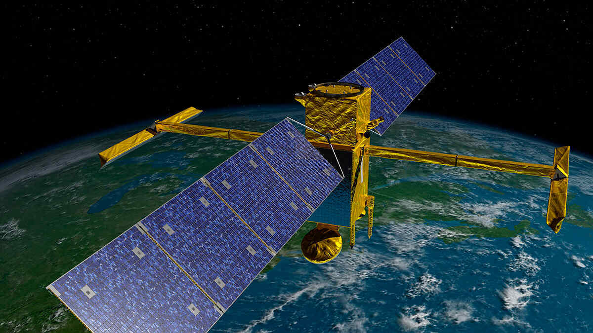
Scientists have developed a new machine learning technique that can translate satellite data on sea surface heights into insights on climate change, heat flow, and current flow. The Surface Water and Ocean Topography (SWOT) satellite, launched in December 2022, captures snapshots of sea surface heights at an unprecedented level of detail. The new technique uses a convolutional neural network to estimate various aspects of current flow in the upper ocean, which can help scientists gain a better understanding of and predict climate change.
Oceanographers rely on satellite technology to monitor the ocean's surface elevation and map the circulation of its currents to understand the role of this movement in climate change and heat transport. In late 2022, the Surface Water and Ocean Topography (SWOT) satellite was launched to capture high-resolution snapshots of sea surface heights at a scale of tens of kilometers. However, this high level of detail has resulted in the detection of waves beneath the surface, making it challenging to use simple physics-based approaches to translate sea surface heights into meaningful information about ocean currents.
To address this challenge, researchers Xiao et al. have developed a novel machine learning method that uses SWOT sea surface height data to estimate various aspects of current flow in the upper ocean. The method applies a computational approach inspired by human vision known as a convolutional neural network, which the team trained on data from realistic simulations of sea surface heights and current dynamics.
The researchers have shown that their convolutional neural network can use detailed sea surface heights to estimate certain aspects of current flow. By gaining a better understanding of how currents transport heat and carbon, scientists may be able to predict and comprehend climate change more accurately.
However, the researchers acknowledge that this is only a proof of concept, and further research is needed to refine the new method before it can be reliably used with SWOT data.
Meanwhile, SWOT will continue to capture high-resolution images not only of Earth's oceans but also of almost all surface water around the world, including lakes, rivers, and reservoirs.

 How to resolve AdBlock issue?