

The firm will offer various geospatial services to support nautical charts, maritime navigation, coastal resource management, and the definition of territorial boundaries.
Woolpert has been chosen by the National Oceanic and Atmospheric Administration (NOAA) to provide shoreline mapping services under a $250 million, multiple-award, indefinite-delivery, indefinite-quantity contract in support of the National Geodetic Survey and its Coastal Mapping Program.
The Coastal Mapping Program aims to survey approximately 95,000 miles of U.S. coastline, producing a seamless digital database of accurate and consistent national shoreline data for use in nautical charting, maritime navigation, coastal resource management, and defining territorial boundaries.
Under this contract, Woolpert will deliver a range of geospatial services, including:
- Topographic and bathymetric lidar acquisition
- Aerial imagery collection
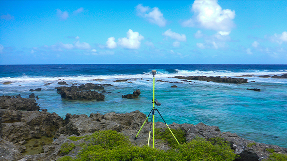
- Ground control surveys
- Tide and water level monitoring
- Geographic cell shoreline cleanup
- Data editing, attribution, and compilation
“The work being done under this contract is essential for ensuring the accuracy of U.S. shoreline data, which supports everything from safe navigation to disaster response,” said Jeff Lovin, Woolpert’s Government Solutions Market Director. “We’re proud to continue our long-standing partnership with NOAA and the National Geodetic Survey and to contribute to this vital work that safeguards coastal communities and enhances national resilience.”
The contract is currently underway.